Day 1 on the
Milford Track
The area of the Milford Track was known to the Maori
who used this general route over Mackinnon Pass to the coast in search
of greenstone (jade).
In 1880 Donald Sutherland and John MacKay became the
first Europeans to explore his area. They began on the coast at Milford
Sound and worked their way through the thick forests, the rocks, and the
rushing water of the Arthur River valley until they reached a pass which
Sutherland called "Balloon Pass." They also "discovered" and named Sutherland
Falls, thought at the time to be the highest in the world (at 580 meters
[about 1900'] it is, in fact, the 5th highest).
In 1888, Quintin Mackinnon was commissioned to survey
a route up the Clinton River valley. He started out from Lake Te Anau, where
the Track now begins, to survey and record the route. In the official survey
Balloon Pass was renamed Mackinnon Pass.
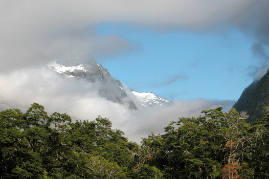
The first two days of hiking the Milford Track are
generally flat and pass through thick beech forests with occasional breaks
where hikers can catch glimpses of the valley sides and the peaks at the
end of the valley. Though we didn't have far to hike until we reached the
first hut, we took our time and often stopped in awe of the beauty through
which we walked. We were fortunate to begin in dry weather with patches of
blue showing in and out of the clouds throughout the day.